MOST READ
John Cannon - 11 Dec 2015
Monitoring data provide an unparalleled window onto the state of ecosystems, but only if they’re reliable and the meaning is clear.
READ THIS
About
22 Results found. From 1997 - 2025


MOST RECENT
News
- 14 Aug 2017
Landscape approaches have potential but can do better in reporting, practice
Review of almost 17,000 documents finds holes in the literature on both successes and failures
News
- 5 Jun 2017
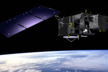
Peatlands: The view from space
How satellites can help map and monitor critical peat landscapes
Analysis
- 18 Apr 2017
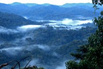
East Africa: An urgent need to monitor the forests
The region looks to a new observatory to help protect its remaining forests
Analysis
- 24 Jan 2017
Increasing accountability in the Paris Agreement
New research provides insight into the role of independent monitoring approaches in enhancing transparency in the land use sector
Analysis
- 24 Jan 2017
Increasing accountability in the Paris Agreement
Video Q&A
- 18 Jan 2017
‘Restoration starts on the ground’
CIFOR scientist Manuel Guariguata speaks at CBD COP13
Video Q&A
- 18 Jan 2017
‘Restoration starts on the ground’
News
- 21 Dec 2016
Alternative approaches to illegal logging
Research backs incentives, monitoring and transparency for timber sustainability
News
- 21 Dec 2016
Alternative approaches to illegal logging
Video Q&A
- 8 Dec 2016
GCP’s Sarah Lake: ‘Landscapes means addressing things beyond a singular supply chain or commodity’
How the creation of new geospatial tools can improve transparency
News
- 10 Nov 2016
COP22 Special: REDD+ monitoring is a technical and political balancing act
The success of measurement, reporting and verification (MRV) systems lies not only in their technical design, but also in their social and economic implications
News
- 14 Sep 2016
Using remote sensing to empower local communities in forestry management
A new monitoring system in Ethiopia makes satellite data available at the local level to promote participatory forest management
Video Q&A
- 12 Dec 2015
To invest in data is to invest in our forests
Without data, we can’t measure the success of forest conservation efforts.
Video Q&A
- 12 Dec 2015
To invest in data is to invest in our forests
Event Coverage
- 11 Dec 2015
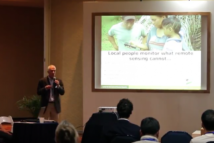
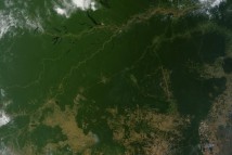
When are satellite images most useful? When someone explains them
Monitoring data provide an unparalleled window onto the state of ecosystems, but only if they’re reliable and the meaning is clear.
Most popular
