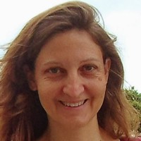
ABOUT THE WRITER
Christelle Vancutsem is a research scientist with more than 20 years of experience in remote sensing and GIS, in four different environments and institutions: the Joint Research Center (EU, Agriculture & Forest groups), the Food and Agriculture Organization of the United Nations, the University of Louvain-la-Neuve (Belgium), the University of Columbia (NY). She contributed to various land cover mapping projects (Globcover, GLC2000,...). She has relevant experience in the spatio-temporal analysis of remotely sensed and climatic time series for health, agriculture and forest monitoring activities. She recently developed a big data mining approach for mapping and monitoring the dynamics of the pantropical moist forest using 38 years of satellite data.
BY THIS WRITER
