As world leaders gather next week for COP22 Marrakesh to discuss priorities for action on the Paris Agreement, Indonesia marks a year since its environmental crisis that had severe implications for global climate change.
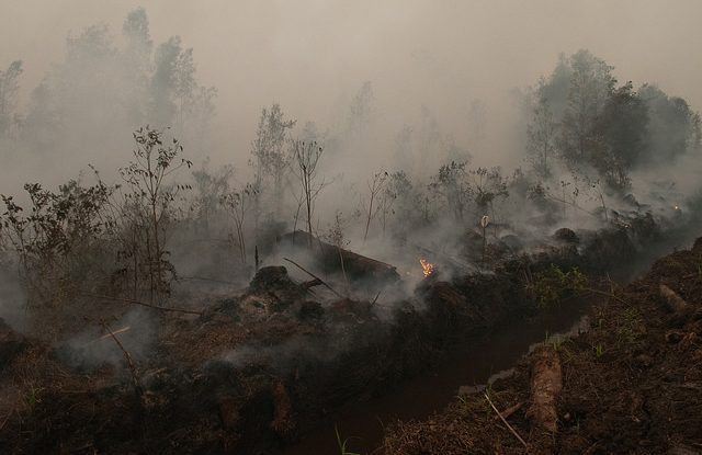
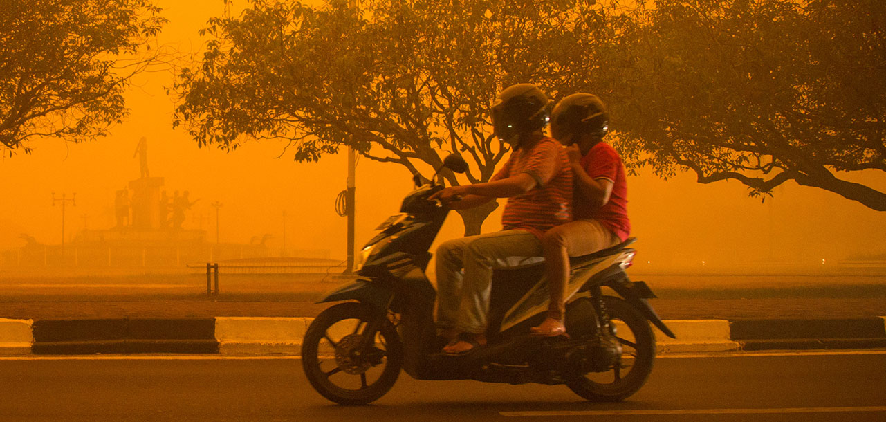
In 2015, land conversion fires raged across carbon-dense peatlands in several provinces in the country, sparking a region-wide air pollution crisis. CIFOR researchers concluded that 884 million tons of carbon dioxide was released in the region last year – 97% originating from burning in Indonesia. The corresponding carbon emissions were 289 million tons, and associated carbon dioxide-equivalent emissions 1.2 billion tons.
Though it has been almost a year since the crisis, these fires occur every year, returning with the dry season like clockwork. Some years are worse than others, depending on the weather and economic and political conditions. 2016 has been no exception, with fire and haze sweeping across parts of Sumatra and Kalimantan – but nothing like the magnitude of last year.
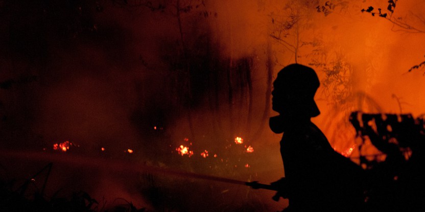
The 2015 fires motivated Indonesia’s President Joko Widodo to pledge to restore two million hectares of the country’s degraded peat lands by 2020 to prevent future fires. Surveillance and firefighting resources are now being used more effectively to combat these fires. In addition, watchdog groups and non profits are keeping a close eye on fire patterns and are demanding more sustainable management practices from companies.
This is all good news – but in the middle of vast, sometimes remote areas, and taking into account how sensitive this issue is – how can anyone really know who is starting the fires?
Like peeling an onion
Scientists from the Center for International Forestry Research (CIFOR) developed maps to answer that question by analyzing fires in more than 160 oil palm and pulpwood concessions in Sumatra’s Riau Province, where recurring forest and peatland burning is most severe. They found that the issue was not straightforward, and realized that the usual practice of combining concession maps and hotspot data did not tell the entire story.
“We had assumed that companies are responsible for all activities within their concessions and independent farms are responsible for activities outside them,” said Dr. David Gaveau, a scientist at CIFOR. “But the fact is, peatland fires can start outside and then spread into concessions, so the reverse can also be true.”
Whose land is burning?
The study found that in regards to oil palm, industrial plantations were detected outside concession borders. Over 28 percent of the total land occupied for oil palm plantations by registered companies in the region of Northern Riau was found immediately outside of the legal concession boundaries, although companies cannot legally operate outside, according to CIFOR scientist Romain Pirard.
“This estimate is conservative because it does not include land occupied by unregistered medium-sized operations that operate like companies, but without formal company status,” he added.
Analyzing data from 2013 and 2014, the scientists also found that most of the fires- up to 75 percent- did not burn in forests. The bulk of the fires targeted idle land – unplanted peatlands covered with flammable shrubs, ferns and deadwood. Ten percent of fires occurred on planted land, such as acacia plantations, and 15 percent in peat forests degraded due to logging.
Plantations in proximity to idle land are at risk of fire escaping, especially on drained peat where fires can easily spread uncontrolled well beyond their targeted areas.
“This research shows that escaped land clearing fires on peat cause direct substantial financial losses for investors in plantations both inside and outside concessions,” said Gaveau.
Figure below: The 4.1 million hectare study area in Riau province, Sumatra (location see inset). (a) The 404,713 ha area that burned in 2013 and 2014 (red) on peatlands (light blue) inside (black) and outside pulpwood and oil-palm concessions. (b) Land occupancy in pulpwood (acacia) concessions. The small inset is a zoom on a LANDSAT image (03 Nov 2014) revealing clusters of land parcels having irregular shapes, varying sizes, and directions in a pulpwood concession. This spatial pattern characterizes lands occupied by independent farmers (either already planted or under development). (c) Land occupancy in oil-palm concessions. The small inset reveals regular grid-like land parcels outside concessions. This spatial pattern characterizes lands occupied by companies (either already planted or under development).

“We didn’t start the fire”
The question of who started the fires is now a well-established blame game, with concession owners accusing independent farmers and vice versa.
The study shows that around half of all of the fires occurred in concessions held by companies, and that companies may be using fire as a deterrent – by burning land already planted by independent farmers in an attempt to regain control of disputed areas.
The researchers also found that independent farmers were burning and occupying land within concession areas or along concession borders in nearly all of the areas studies. Though additional research is required to be conclusive, these initial results suggest independent farmers may be responsible for some portion of the fires detected within concessions.
However, it is not entirely clear what motivates independent farmers to start fires– whether they burn land for personal use, are hired by concession owners to clear land, or use fire to settle disputes.
“The debate around blame framing is often pitted against small landholders versus large companies,” said Rachel Carmenta, a post-doctoral fellow at CIFOR. “Through our research, we recognize that we need to work to better unpack these broad typologies. Smallholders are by no means uniform.”
A significant factor in this complexity is biophysical. More than 80 percent of pulpwood concessions are located in peat domes and nearly 60 percent of the burned area outside concessions occurred within a five-kilometer buffer bordering these pulpwood concessions. This indicates deep peat draining in pulpwood concessions increases the chances of fires starting nearby.
The study also showed a link between the location of peat domes located inside concessions and where the burning happened outside of them.
“Another significant factor in this complexity is biophysical – more than 80 percent of pulpwood concessions are located in peat domes and nearly 60 percent of the burned area outside concessions occurred within a five-kilometer buffer bordering these pulpwood concessions,” said Gaveau. “This indicates deep peat draining in pulpwood concessions increases the chances of fires starting nearby.”
Together, these results suggest that some companies are either directly or indirectly responsible for fires outside concessions. Often, they do not have formal concession permits from the capital of Jakarta, and only get the green light from local officials to operate on land where agriculture is not allowed.
“In Indonesia, it is more useful to know who controls the land rather than who owns it in order to assign responsibilities,” said Pirard. “This is not just a problem of registered land tenure, but also of law enforcement, so the problem will likely last for a long time.”
In Indonesia, it is more useful to know who controls the land rather than who owns it in order to assign responsibilities. This is not just a problem of registered land tenure, but also of law enforcement, so the problem will likely last for a long time.
See it with your own eyes
Indonesia is now working to enforce measures to reduce fire and deforestation, but a clearer picture of ownership and actual control of individual land parcels is needed if these measures are to be fully effective.
For now, satellites are the main source of information, as they can provide near real-time data that can monitor commitments by concession owners not to burn land. But is this enough?
“We found that detailed mapping from satellite data alone doesn’t tell the full story. We need to combine very high-resolution satellite data with extensive field investigations to map de-facto (legal and illegal) land ownership, claims and disputes inside and outside concessions,” said Gaveau.
It is a massive undertaking. Millions of land parcels seen by satellites need to be checked on the ground to identify ownership, potential claims and disputes across the large remote frontier regions of Indonesia regularly affected by fire.
What’s more, field investigators on the ground are often at risk. In September, the Indonesian Ministry of the Environment and Forestry reported that seven of their investigators were kidnapped and threatened by a hundred people believed to be part of a farmers’ association linked to a palm oil firm operating outside concession in Riau province.

Location of the unregistered concession of PT. Andika Permata Sawit Lestari, where the kidnapping incident occurred.
Gaveau said these activities could fall under the ‘One Map Policy,’ which aims to bring together land use, land tenure and other spatial data into a single database that will support legal land ownership, land tenure and land rights.
Indonesia is stepping up its efforts to bring companies and farmers to justice for starting fires. Hundreds of people have already been arrested for starting fires, including a number of people directly linked to companies. But until we know who actually owns the land where the fires start, it will be nearly impossible to accurately pinpoint who is responsible for all the devastation to the environment, public health and global climate change.
We want you to share Forests News content, which is licensed under Creative Commons Attribution-NonCommercial-ShareAlike 4.0 International (CC BY-NC-SA 4.0). This means you are free to redistribute our material for non-commercial purposes. All we ask is that you give Forests News appropriate credit and link to the original Forests News content, indicate if changes were made, and distribute your contributions under the same Creative Commons license. You must notify Forests News if you repost, reprint or reuse our materials by contacting forestsnews@cifor-icraf.org.

