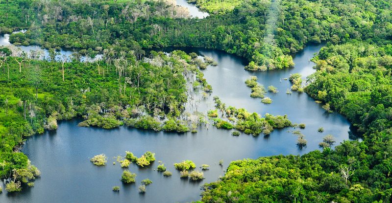
A new interactive platform launched on 22nd February allows policy makers in Brazil to explore drivers of forest loss in the Amazon and Cerrado and analyze potential impacts of policies aimed at reducing deforestation and reducing greenhouse gas emissions.
Planners can model forest loss and carbon emissions for the entire biome, or home in a state or municipality. Taking the historical deforestation rates from 2011 to 2022 as a starting point, the platform allows them to compare a business-as-usual scenario for 2023-2035 with projected results for the same period under Brazil’s Plans for Prevention and Control of Deforestation (PPCDs).
The platform is part of the Global Comparative Study on REDD+ (GCS REDD+) led by the Center for International Forestry Research and World Agroforestry (CIFOR-ICRAF). The tool, which was developed by researchers at the Federal University of Minas Gerais (UFMG) and the Centre for Territorial Intelligence, also allows users to calculate related emission-reduction credits at different prices, based on the methodology used by the Architecture for REDD+ Transactions (ART).
“This is a tool to help visualize connections between land use actions at the territorial level and their potential consequences on carbon emissions,” Vincent Gitz, CIFOR-ICRAF director for Latin America, said at the hybrid launch event “We see important potential for supporting local and state governments in dialogues around better management of land and forests around protected areas,” he said, adding that it can also help with compliance with Brazil’s commitments for reducing greenhouse gas emissions under the Paris Agreement.
“The platform will save policy makers and planners time and effort in a rapidly changing field,” said Richard Van der Hoff, a professor at UMFG who has coordinated a series of dialogues between scientists and policy makers in Brazil as part of the GCS REDD+. The platform is one way in which scientists are responding to the needs expressed by dialogue participants.
“When governments change, that can result in policy changes,” Van der Hoff said, “and the methodology for measuring results of reductions in greenhouse gas emissions from deforestation and forest degradation (REDD+) is also changing fast. It’s a lot of work for technical teams in governments, especially at the state and local level, to keep track of all these changes.”
By incorporating those changes as they occur, the platform will reduce the workload for technical teams and will make data available to anyone interested in deforestation and planning in Brazil.
The platform makes scenarios easier to visualize as policy makers ask “what-if” questions about the impact of forest and land-use plans on carbon emissions, added Juliana Leroy Davis of the Centre for Territorial Intelligence, who demonstrated how the website works during the launch event.
The important thing now, she said, is ongoing communication with users to receive feedback and let them know about updates.
Government officials who made comments or asked questions at the launch were already thinking about features they’d like to see added, such as Indigenous territories, the impacts of legal logging in addition to illegal deforestation, and information about private REDD+ projects.
“The comments showed people are seeing the potential of this platform for helping officials at the state and local levels, where not every jurisdiction has the same capacity for statistical analysis,” Van der Hoff said.
As the platform develops further, Gitz said, it could include other biomes besides the Amazon and Cerrado, and represent other land uses beyond the forest/non-forest dichotomy, such as restoration, agroforestry, and zones dedicated to the products of socio-biodiversity, for instance. This would also help decision makers to better understand and develop synergies between biodiversity- and climate-focused actions.
To set priorities for expansion, the developers will monitor how people use the platform and the kinds of policy issues they analyze, to ensure that new features respond to real needs. They will also continue to add data and seek to integrate with other platforms to expand the project’s scope.
“The more information we have for scenario modelling, the better,” Van der Hoff said. “It’s gratifying to see that people are getting excited about the possibilities.”
Acknowledgements
This work was carried out as part of the Center for International Forestry Research’s Global Comparative Study on REDD+ (www.cifor-icraf.org/gcs). The funding partners that have supported this research include the Norwegian Agency for Development Cooperation (Norad, Grant No. QZA-21/0124), International Climate Initiative (IKI) of the German Federal Ministry for the Environment, Nature Conservation and Nuclear Safety (BMU, Grant No. 20_III_108), and CGIAR Research Program on Forests, Trees and Agroforestry (CRP-FTA) with financial support from CGIAR Fund Donors.
For more information on this topic or to offer feedback on the platform, please contact Christopher Martius at c.martius@cifor-icraf.org and Richard Van der Hoff at richard.vanderhoff@inteligenciaterritorial.org
We want you to share Forests News content, which is licensed under Creative Commons Attribution-NonCommercial-ShareAlike 4.0 International (CC BY-NC-SA 4.0). This means you are free to redistribute our material for non-commercial purposes. All we ask is that you give Forests News appropriate credit and link to the original Forests News content, indicate if changes were made, and distribute your contributions under the same Creative Commons license. You must notify Forests News if you repost, reprint or reuse our materials by contacting forestsnews@cifor-icraf.org.