When a tree falls in Borneo, does it make a sound?
A new interactive atlas developed by the Center for International Forestry Research (CIFOR) is making sure it does.
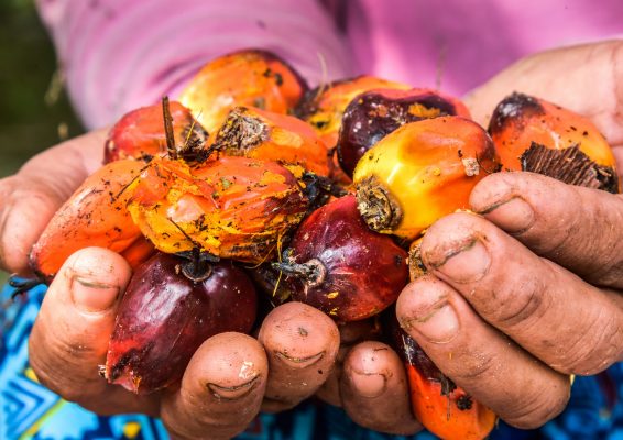
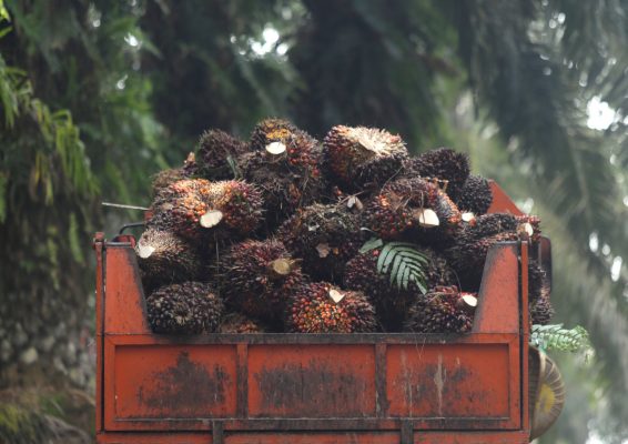
Incorporating 40 years of maps of Borneo (the world’s third largest island), the tool reveals both the forest remaining and what is being reshaped due to degradation and extraction industries. With the ability to search by oil palm or pulpwood concessions, and view the locations of intact peatland, as well as determine the speed with which forest is converted to plantation, the atlas offers the first significant opportunity to distinguish companies that are avoiding deforestation to a large degree.
CIFOR scientist David Gaveau, who developed the atlas, said, “The tool is an open platform for researchers, advocacy groups, journalists and anyone interested in deforestation, wildlife habitats and corporate actions.”
The data provided by the atlas is free to download, and informs whether a particular oil palm concession is certified by the Roundtable on Sustainable Palm Oil (RSPO)- the organization that implements a global standard for sustainability in the palm oil industry.


